Standard checkout available. Verified maker dispatch.
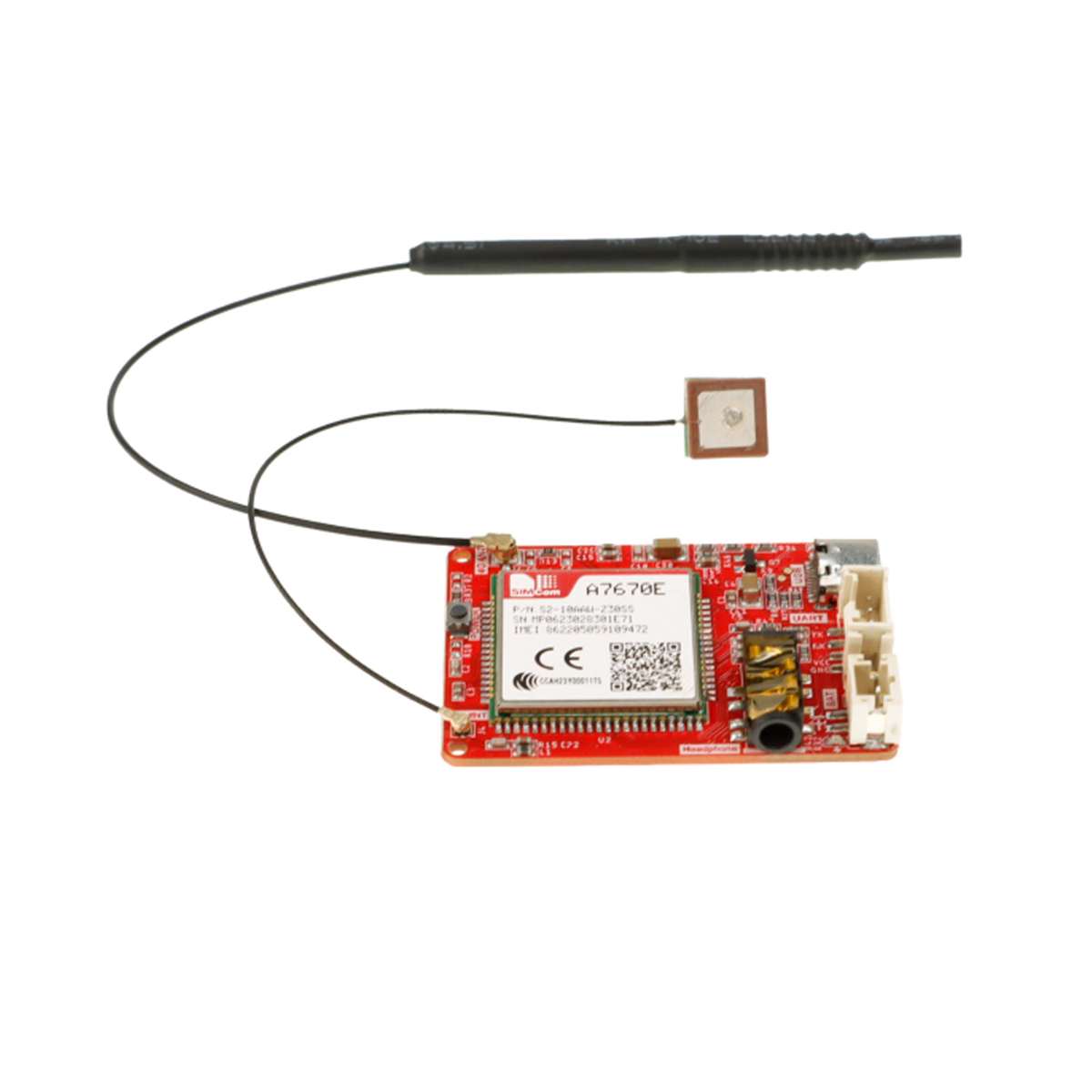
The Elecrow Crowtail A7670E is a 4G LTE Cat1 wireless module based on the SIM A7670E chip with UART communication. It supports 4G data transmission and voice communication, and includes GPS, GLONASS and BDS satellite navigation, so a single board can both find its location and report it over the mobile network.
It supports LTE bands B1, B3, B5, B7, B8 and B20 as well as WCDMA and GSM networks, and protocols including TCP/IP, FTP and HTTP.
The board takes a supply of 4.0 to 4.2 V, which is a single-cell lithium battery voltage rather than 5 V, so power it as described in the Elecrow documentation. It offers USB and UART communication, and it has a power button, a battery connector, a Type-C port, a SIM card slot, a charging interface and a 3.5 mm headphone jack. It weighs 19.5 g and measures 35 x 50 mm.
For vehicle tracking, pair it with a microcontroller that reads the GPS data and sends it to a server. You will need an active SIM that supports one of the listed bands in your country and a proper antenna for both the cellular and GPS parts.
Makers building vehicle, asset or drone trackers and IoT projects that need mobile connectivity and location on one board.
A working tracker needs three things: power, a SIM and antennas. Start with a bench test using a computer and AT commands over UART or USB, check the network registration, then read the GPS position. After that, move to a sketch or firmware that reports the position to your server at a sensible interval so you do not waste data or battery.
LTE Cat1 (B1, B3, B5, B7, B8, B20), WCDMA and GSM.
GPS, GLONASS and BDS.
4.0 to 4.2 V.
Through USB or UART.
19.5 g.
| Brand | ELECROW |
|---|---|
| Dimensions | 35 x 50 mm |
| GNSS Constellations | GPS, GLONASS, BDS |
| Interface Type | UART, USB |
| Operating Voltage | 4V-4.2V |
| Weight | 19.500000 g |
| Selling unit | PCS |